
Accurate data collection for enhanced traceability, certification readiness, and market access
TraaceRight Satellite conducts digital farmer profiling to collect accurate data on farm location, size, ownership, and practices—enabling better planning and targeted interventions.
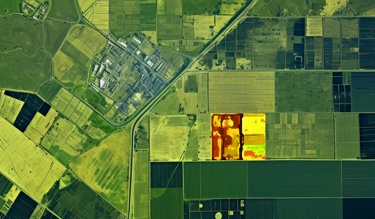
Geo-tagged farm boundaries and precise location data using GPS technology.

Mobile-based surveys capturing farm size, ownership, and cultivation practices.
Real-time insights into farmer networks for targeted interventions.
Our digital profiling system creates verifiable identities for farmers, linking them to specific plots of land. This forms the foundation for:

All farmer data is securely stored with blockchain technology, ensuring:

Implement our profiling system to unlock new opportunities for your supply chain.
Get Started Today